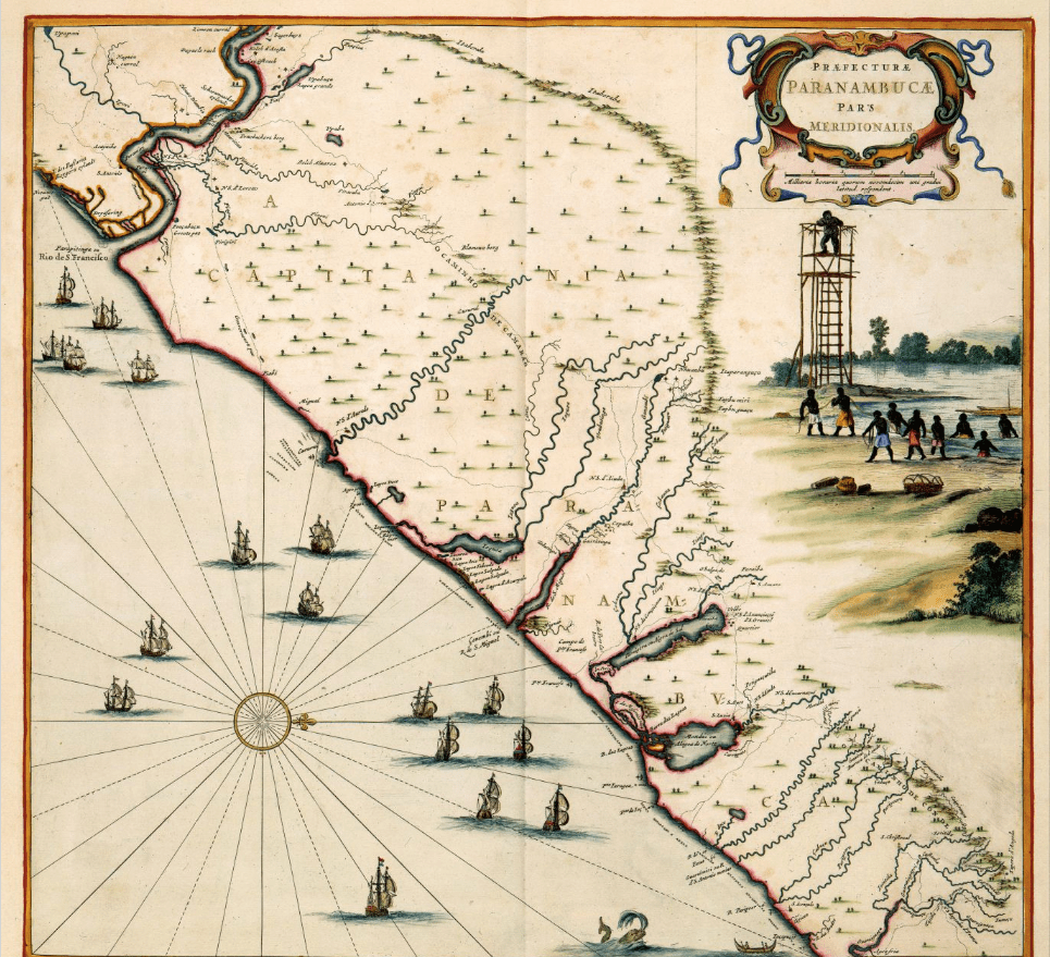
This map blends cartography with violent colonial narrative in the depiction the Dutch territory near the coast of Pernambuco with the water featuring numerous European ships. The cartographic features of the image are supplemented by the figurative scene at right, in which African slaves labor under the eye of a supervisor. The area depicted here was first surveyed by Georg Macgraf and Cornelis Goliath; their maps were republished decades later by Joan Blaeu. This image was previously published in Barlaeus’s Rerum per octennium in Brasilia (1647)
Image source: http://www.atlasofmutualheritage.nl/en/Map-Pernambuco-Tamarica.7745
